In order to determine the volume of annual use of forest ensuring its reasonable and non-exhaustive use, it is especially important to be aware of the current state of forest resources.
BC Company technologies allow to provide relevant spatial information to the forestry enterprises within the shortest time. Reveal all advantages of BC Company UAVs application in the forest management, and you will forget about expensive and exhaustive tours around the territories. Use cost-effective method of forest lands monitoring.

Forest state control and mapping
With the help of BC Company unmanned technologies, you can rapidly and accurately perform forestry inventory. During one day BC 201 is able to shoot the area of up to 100 km2. Special modules in GIS Sputnik allow to detect cutovers automatically, estimate height of the trees and wood reserves ( by the piece). Detailed photos in the visible and close infra-red ranges enable to detect drying out or water-logged forest areas, effects of the pests and diseases. Detection of sites and determination of areas completely or partially fallen by the storm winds will not be difficult either. Completeness and accuracy of the obtained spatial data enable development of thematic maps in 1:2000 and smaller scale.
Analysis, preservation and planning
BC UAV will help to assess forest reserves and determine hard-to-reach and unproductive planted vegetation in a proper manner. They will ensure time control of types and areas of cutting, placement of the hauling roads, trails and loading sites in accordance with cutting area logging chart. It will facilitate forest use planning and settlement of judicial disputes connected with forestry legislation. Complete compatibility with GIS opens unlimited opportunities of further analysis.

Quick response monitoring
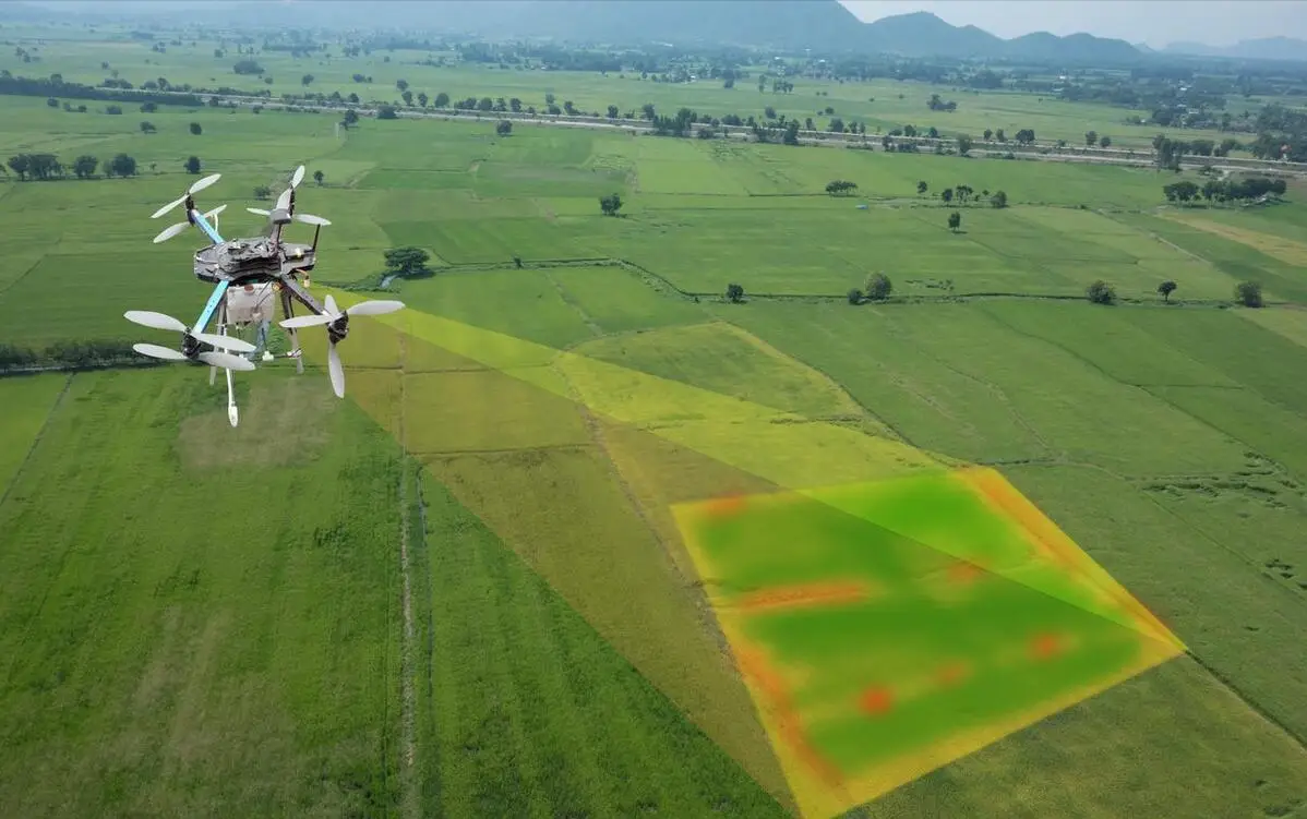
While receiving data directly from the UAV board in the online mode, you can not only monitor wood procurement, forest-protection actions or fires but even forecast development and movement of forest fires with account of meteorological conditions and pyrogenic factors. Patrolling with the help of UAVs provide a new approach to forests protection and simplifies control over observance of the cutting by the timber procurement companies. Since UAV launch is almost costless, regular surveys will be perfectly suitable for monitoring of processes dynamics in the course of time. These can be forest restoration works, propagations of pests and diseases or development of erosion prcesses. Almost immediate readiness for the flight allows to estimate economic and environmental damage rapidly and develop a response plan in case of emergencies.


